Geology, plate tectonics, and earthquake guides
In-depth content to understand how Earth works: earthquakes, magnitude, the Ring of Fire, seismicity in Brazil, and the processes that shape the planet.
How earthquakes happen: faults, stress, and seismic waves
Understand what an earthquake is, how elastic rebound works, where earthquakes occur, and why the same event is felt differently in different places.
All guides
Magnitude and intensity: how earthquakes are measured
Magnitude and intensity are not the same thing. Learn about moment magnitude, energy release, the Mercalli scale, and how to read USGS data.
Earthquakes in Brazil: why the country shakes too
Brazil sits in the middle of the South American Plate but has active faults and records earthquakes. Learn about intraplate seismicity, historical cases, and preparedness.
The Pacific Ring of Fire: why it concentrates so many earthquakes
The Ring of Fire is the most active region on Earth for earthquakes and volcanoes. Learn about subduction, the numbers, and why it affects Japan, Chile, and Indonesia.
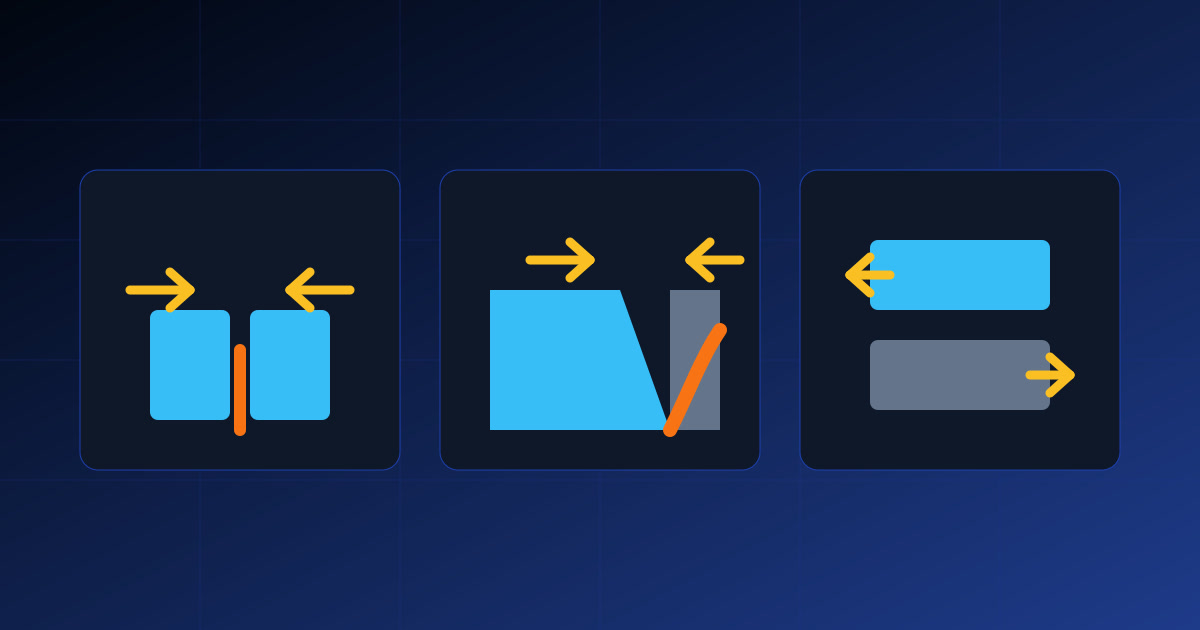
Plate boundaries: divergent, convergent, and transform
Understand the three types of tectonic boundaries, the earthquakes and volcanoes associated with each, and how to recognize them on the 3D map.

Tsunamis: how they form, how fast they travel, and how to stay safe
Understand what a tsunami is, how earthquakes and other events generate one, why it travels so fast, and the key safety measures.
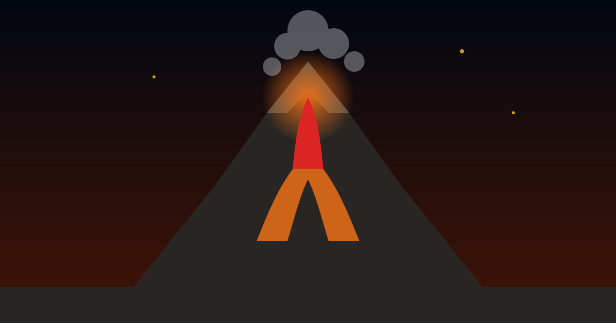
Volcanoes: types, formation, and why they cluster in certain regions
Learn how magma reaches the surface, why eruptions can be effusive or explosive, the main volcano types, and the associated hazards.
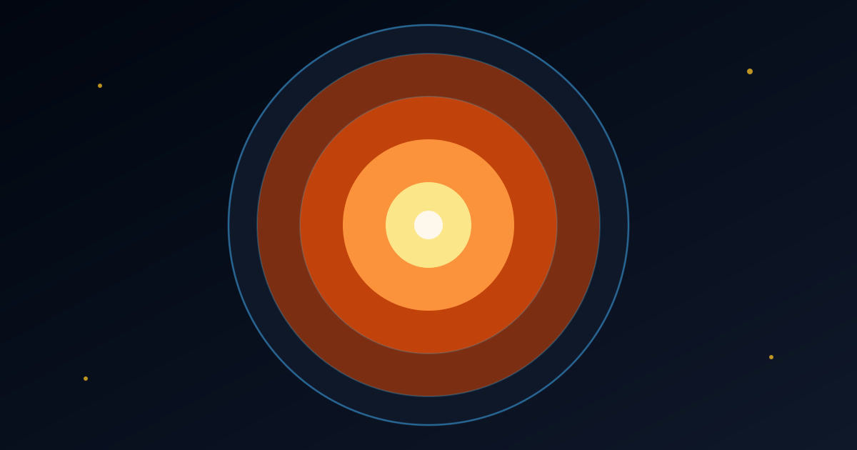
Earth’s layers: crust, mantle, core, and the lithosphere
Explore Earth’s internal structure, the difference between lithosphere and asthenosphere, and how seismic waves reveal what lies beneath our feet.
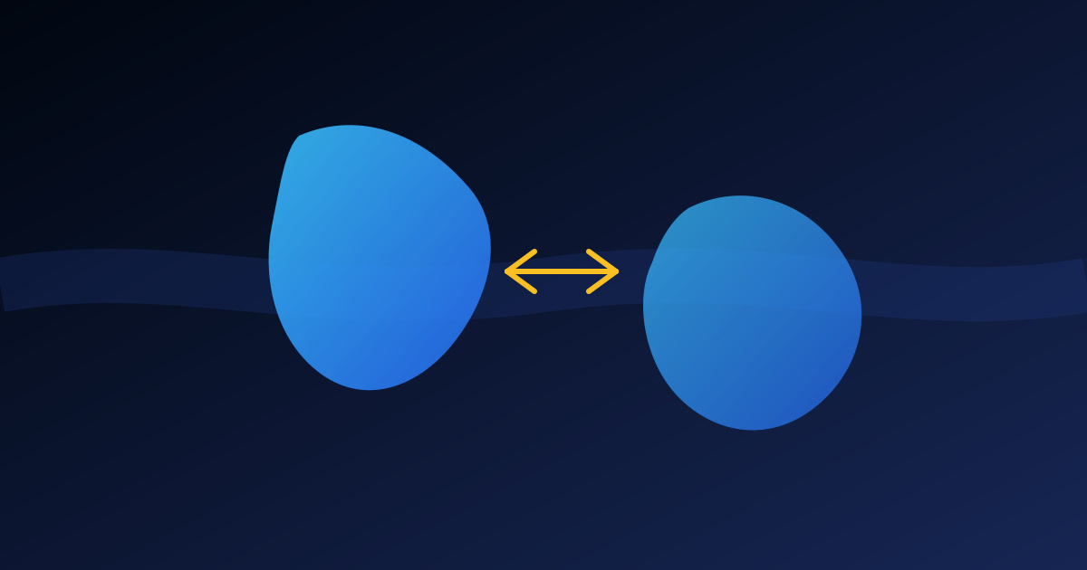
Continental drift: from Wegener to plate tectonics
Explore the history of continental drift, Wegener’s evidence, the initial rejection, and how seafloor spreading led to plate tectonics.
Tectonics glossary: essential terms
Clear definitions of key terms in plate tectonics, earthquakes, volcanoes, and structural geology.
Classroom: lesson plans on tectonics and earthquakes
Three ready-to-use lesson plans for teaching plate tectonics, seismic waves, and earthquake preparedness in middle and high school.
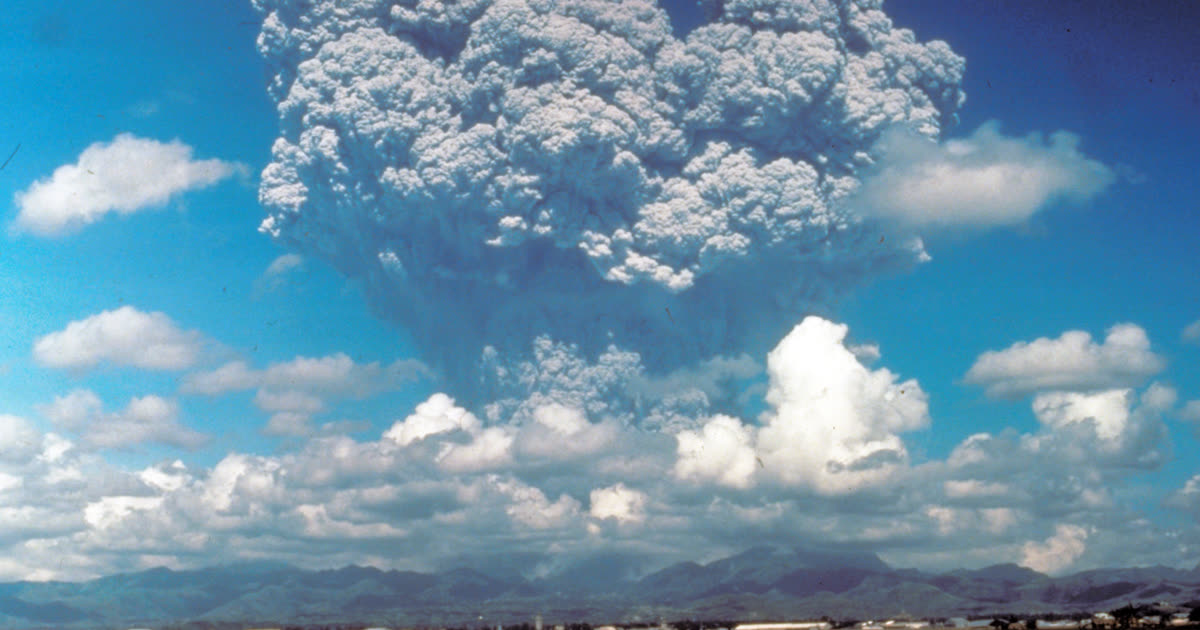
Historic volcanoes: eruptions that changed the climate
How Tambora, Krakatoa, Laki, and Pinatubo affected the global climate, why the cooling is temporary, and what these eruptions teach us about Earth.
Why study plate tectonics?
Plate tectonics explains why continents have their current shape, why mountains, volcanoes, and ocean trenches exist, and why earthquakes cluster in certain regions. It is one of the unifying ideas of modern geology.
Understanding these processes helps people interpret news, assess risk more realistically, and recognize prediction claims that lack a scientific basis. It also brings science closer to everyday life in seismic regions.
Why it matters
Earthquakes and tsunamis affect communities every year. Quality information does not stop events from happening, but it supports preparedness, safer construction, and faster responses.
For students, the guides offer an entry point into geology, geophysics, and geography. For the general public, they help separate evidence from alarmism and understand what the data actually says.
What you will find
Fundamentals
How earthquakes begin, the role of faults and seismic waves, and why the same event is felt differently in different places.
Measurement
The difference between magnitude and intensity, the moment magnitude scale, and how to read USGS data without confusing energy with damage.
Context
Seismicity in Brazil, the Ring of Fire, and the subduction processes that explain the geography of earthquakes.
Where to start
- Read “How earthquakes happen” to understand the basic mechanism.
- Then read “Magnitude and intensity” to interpret the numbers.
- Next, explore “Earthquakes in Brazil” or “Ring of Fire” according to your interest.
- Use the 3D map and the recent earthquake page to connect the text with data.
How to use this library
Start with the fundamentals and move on to applied topics. Each guide is written to stand on its own, with links to the 3D map and USGS seismic data.
The pages include sources, context, and limitations. The goal is not to replace textbooks or official bulletins, but to offer an accessible bridge between science and the public.
This site is for educational purposes. Visual activity classifications are neither predictions nor technical risk assessments.