By the GlobalTectonic editorial team · Updated on October 25, 2026
Understanding Tectonic Plates and Earth's Dynamic Geology
Welcome to the 3D Global Tectonic Plates interactive map. This tool provides an immersive visualization of Earth's geological structure, allowing you to explore the boundaries that shape our continents and oceans.
What Are Tectonic Plates?
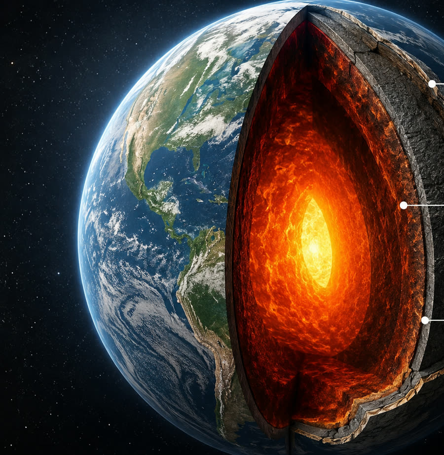
The Earth's lithosphere—which comprises the crust and the uppermost part of the mantle—is broken up into massive, irregularly shaped slabs of solid rock known as tectonic plates. These plates are constantly in motion, gliding over the semi-fluid asthenosphere below them at a rate of a few centimeters per year, roughly the speed at which human fingernails grow.
There are seven major tectonic plates, along with numerous minor plates. The interactions at the boundaries of these plates are responsible for many of the Earth's geological phenomena, including earthquakes, volcanic activity, mountain building, and oceanic trench formation.
The Major Tectonic Plates
These seven plates account for the vast majority of the Earth's surface:
Pacific Plate
The largest tectonic plate, beneath the Pacific Ocean. Mostly oceanic crust.
North American Plate
Covers North America, Greenland, and parts of the Atlantic Ocean.
Eurasian Plate
Includes most of Eurasia, notable for its collision with the Indian Plate forming the Himalayas.
African Plate
Covers the African continent and surrounding oceanic crust.
Antarctic Plate
Contains the entire continent of Antarctica and the surrounding Southern Ocean.
Indo-Australian Plate
Sometimes considered two plates (Indian and Australian). Contains Australia, India, and surrounding oceans.
South American Plate
Includes the South American continent and a large portion of the Atlantic Ocean.
30 Essential Questions
The ultimate guide to plate tectonics. Access answers to the most common questions, crafted with scientific rigor.
Notable Minor Plates
While smaller, these plates play critical roles in regional geology, often responsible for intense seismic and volcanic activity:
Nazca Plate
An oceanic tectonic plate in the eastern Pacific Ocean basin off the west coast of South America. Its subduction under the South American plate has formed the Andes Mountains.
Philippine Sea Plate
An oceanic plate beneath the Philippine Sea, east of the Philippines. It is subducting under the Eurasian Plate.
Arabian Plate
A minor tectonic plate in the northern and eastern hemispheres, moving northward and colliding with the Eurasian Plate.
Caribbean Plate
A mostly oceanic tectonic plate underlying Central America and the Caribbean Sea off the north coast of South America.
Cocos Plate
An oceanic tectonic plate beneath the Pacific Ocean off the west coast of Central America.
Scotia Plate
A plate on the edge of the South Atlantic and Southern Ocean, bordering the Antarctic plate.
Juan de Fuca Plate
A small, young plate subducting under the northerly portion of the western side of the North American Plate.
Types of Plate Boundaries
The edges where tectonic plates meet are called plate boundaries. The movement of plates relative to each other dictates the type of boundary and the geological features found there:
Divergent Boundaries:
Occur when plates move apart. This usually happens along mid-ocean ridges where new crust is formed as magma rises from the mantle. A notable example on land is the East African Rift.
Convergent Boundaries:
Happen when plates collide. Depending on the types of crust involved (oceanic or continental), one plate may be forced under the other in a process called subduction, leading to deep ocean trenches and volcanic arcs, or both may be pushed upwards to form immense mountain ranges, like the Himalayas.
Transform Boundaries:
Form where plates slide past one another horizontally. The friction between the plates can build up stress over time, which is eventually released as powerful earthquakes. The San Andreas Fault in California is a famous transform boundary.
How to Use the Interactive Map
Our 3D globe offers a unique perspective on Earth's geology:
- Rotate and Zoom:Click and drag to rotate the globe. Scroll to zoom in and out to see detailed plate boundaries across different countries and continents.
- Plate Information:Click on any of the tectonic plates or glowing boundary lines to reveal data about the plate, including its approximate size in square kilometers and its key geological characteristics.
- Search by Country:Use the search bar to locate specific countries. When a country is selected, the map highlights it and displays the underlying tectonic plates that are part of its regional geological context.
- Dark and Natural Modes:Toggle between the default "Cosmic" dark mode, which emphasizes the glowing fault lines, and the "Natural" mode, which provides a realistic view of Earth's surface.
Featured guides
Go deeper into the processes that shape the Earth.
How earthquakes happen: faults, stress, and seismic waves
Understand what an earthquake is, how elastic rebound works, where earthquakes occur, and why the same event is felt differently in different places.
Read guide →MeasurementMagnitude and intensity: how earthquakes are measured
Magnitude and intensity are not the same thing. Learn about moment magnitude, energy release, the Mercalli scale, and how to read USGS data.
Read guide →BrazilEarthquakes in Brazil: why the country shakes too
Brazil sits in the middle of the South American Plate but has active faults and records earthquakes. Learn about intraplate seismicity, historical cases, and preparedness.
Read guide →